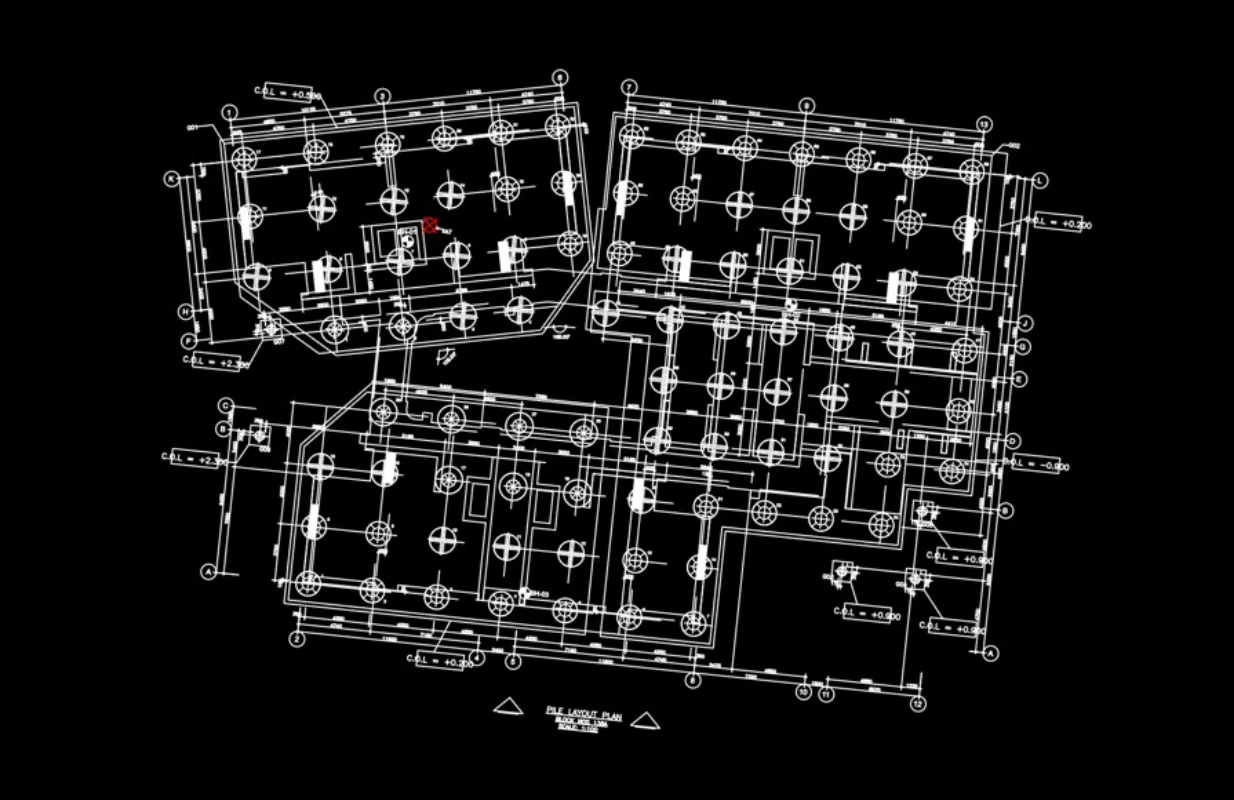
H3 Zoom’s Robotics as a Service covers pile marking and robotic and drone inspections of buildings and infrastructure. We manage the equipment and field operations, so your team can use these services without buying, operating, or maintaining robotic systems.
PilePilot, our flagship pile-marking solution, takes piling drawings and turns them into data for a robot, which then marks out planned positions on site. We cross-check those positions against project information and provide your team with digital records of the results.
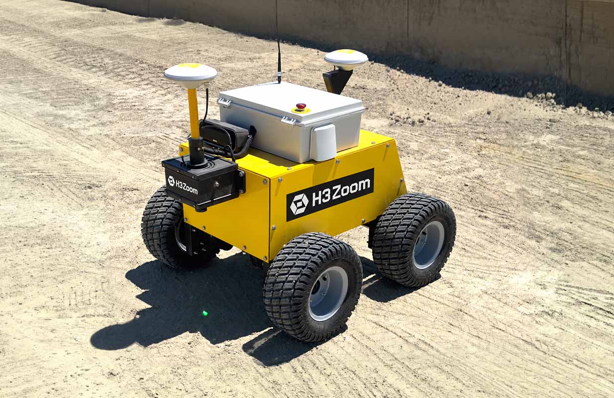
Surveying and engineering teams need to translate piling drawings into positions that can be marked on site. When done manually, this exhaustive task involves extracting coordinates, matching them to pile references and checking each entry. H3 Zoom handles that preparation through PilePilot, using our software to produce coordinate data for a robot to follow when marking pile positions.
Extracting coordinates and matching pile references manually takes time before site marking can begin. H3 Zoom handles those tasks, converting piling drawings and project information into data for PilePilot.
Putting that plan into action requires equipment setup and coordination of site work. H3 Zoom manages both, overseeing automated pile-position marking and working with qualified local partners where needed.
A mark on the ground doesn’t confirm that its position matches the piling plan. We digitally record marked positions and check them against planned locations in the project information.

Reviewing marking records is harder when verification results and drawing references are kept separately. We bring them together in digital records and reports, giving your team a documented connection between marked pile locations, verification results, and the piling plan.

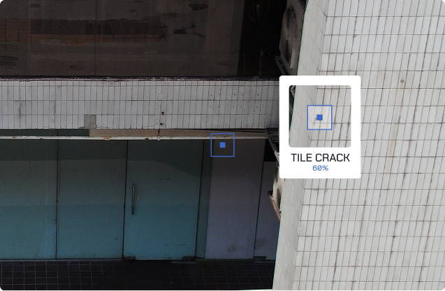
Beyond pile marking, H3 Zoom provides robotic and drone services for inspecting buildings and infrastructure. Our inspection platform brings the captured data together for analysis, review and reporting.

Autonomous or semi-autonomous robots collect inspection data in environments where repeated manual capture is difficult or inefficient.

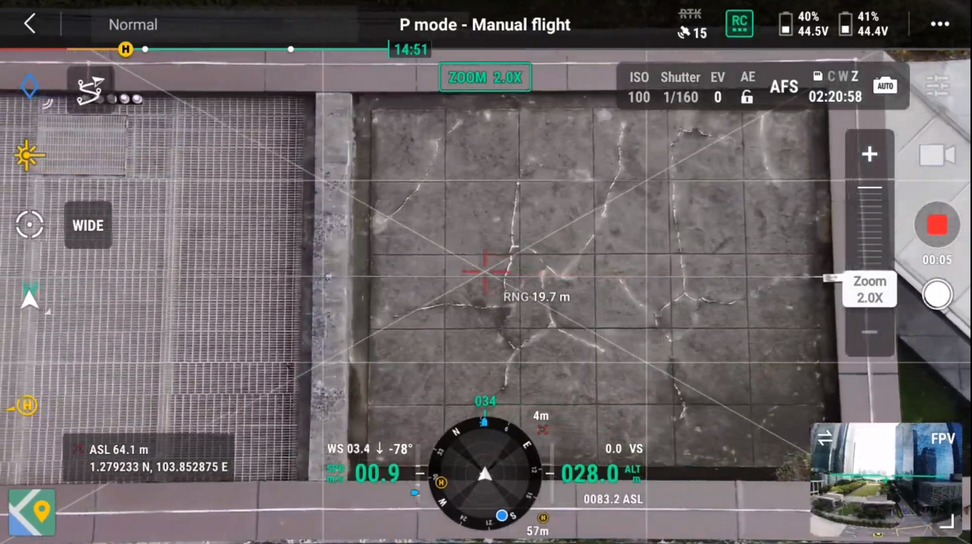
Drones capture imagery of building façades, infrastructure and other difficult-to-reach assets. Autonomous flight supports this capture where site conditions and inspection requirements allow.

We configure robotic deployments around inspection tasks that require different equipment or access arrangements. Tethered-drone operations may be included, subject to suitability and service availability for your project.
Every finding retains its location, classification, severity grade, and supporting imagery.
30 piles/hour
1 pile every 2 minutes
Project Specific
Positional Accuracy - Target
≈15mm
Manual GNSS via SiReNT; no total stations.Estimated baseline; robot targets need site trials.
Drawing Data Preparation Time
Manual
1-2 Hours
PILEPILOT Target
<1 minute
CAD drawing to robot mission
>98.3% target prep time reduction
Verification Linkage
[Y]% Linked
Manual GNSS via SiReNT; no total stations.Estimated baseline; robot targets need site trials.
60% Target Saving
Assumes 1 operator per method; 5 vs 2 min/pile.Equivalent positioning and marking scope required.Excludes setup, mobilisation and downtime.Marking labour only; subject to site validation.
規制環境に対応した認定点検インテリジェンス
H3 Zoomが点検データを、規制当局に説明可能なレポート、改善の優先順位、そして監査対応可能な資産記録へとどのように変換するかをご覧ください。